What the 2026 Hurricane Cone Still Does Not Show
The 2026 hurricane cone is more useful than before because it now shows inland tropical storm and hurricane watches and warnings. That is a real improvement for homeowners in Louisiana and Mississippi. But the cone still does not show every risk to your house. It does not show every weak roof edge, every overloaded gutter line, every vulnerable siding transition, or every place where wind-driven rain can force water into a home before the storm center comes close.
What Changed in the 2026 Cone
The biggest public-facing change is that the cone now shows inland tropical storm and hurricane watches and warnings instead of limiting that view to coastal warning areas. That makes the graphic more useful for homeowners away from the shoreline and helps reinforce that storm exposure does not stop at the coast.
Inland Warnings Are Visible
The updated graphic gives inland communities a clearer visual signal that wind hazards can still become serious far from the water.
The Cone Is Better Than Before
It is a more useful communication tool than the older version because it helps more homeowners see inland risk earlier.
But It Is Still Only One Tool
The cone is still not a full property-level map of how your specific house will perform during a storm.
That distinction matters because many homeowners still read the cone too narrowly and miss the broader exposure their home may face.
What the Cone Still Does Not Show
The cone still does not show every danger that can damage a home. It helps explain forecast direction and warning areas, but it does not fully communicate how exterior weaknesses respond to long rain bands, gust fronts, runoff overload, debris, or pressure on already vulnerable roof and wall details.
- It does not show every wind-driven rain path around your roof, walls, windows, and trim.
- It does not show where your gutters may overflow or where runoff may start splashing back against the siding.
- It does not show whether past repairs, old flashing, or loose trim details are already close to failure.
- It does not show how debris, branches, or repeated storm bands may affect one side of the house more than another.
- It does not tell you whether your particular home is ready for the storm just because the center track is not directly over it.
That is why the cone should be used as a storm-awareness tool, not as a final answer about whether your house is safe.
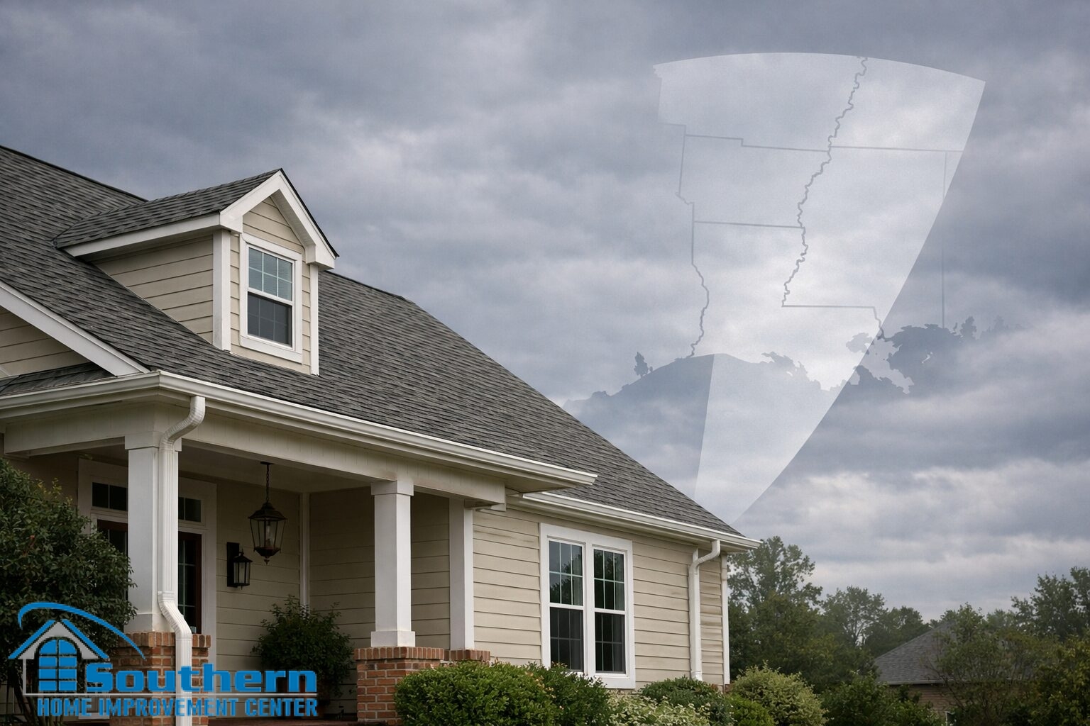
Why This Matters for Louisiana and Mississippi Homeowners
For Gulf Coast homeowners, the gap between the cone and the real exterior risk is important. Many costly storm problems begin with water management, exposed transitions, and weak details long before the storm center makes the news footage look dramatic. A home in Baton Rouge, Slidell, the Northshore, Gulfport, Biloxi, Bay St. Louis, or Picayune can still take meaningful exterior stress even when the address is not on the immediate coastline.
Inland Exposure Is Real
Homes away from the shoreline can still face damaging wind, water intrusion, gutter overload, and siding stress during tropical systems.
The Exterior Fails at Details
Roof edges, flashing, gutters, siding corners, soffit lines, and window transitions often become the first weak points under storm pressure.
The Cone Is Not a Home Inspection
The updated graphic helps you notice broader risk sooner, but it still does not replace a realistic look at the actual condition of the house.
The best use of the updated cone is not to assume you are safe outside the center track. It is to treat inland warnings as a clearer reminder that exterior preparation still matters.
Home Risks the Cone Cannot Diagnose for You
Even with the improved 2026 cone, homeowners still need to think in terms of building vulnerabilities, not just forecast graphics. These are the kinds of issues the cone cannot diagnose for you.
Roof Edges and Flashing
Lifted shingles, weak rake details, and older flashing repairs can fail under gust pressure and repeated rain.
Gutters and Drainage
Loose gutters, poor drainage paths, and clogged discharge points can push water back onto the exterior envelope.
Siding and Trim
Loose corners, vulnerable wall transitions, and older trim details can allow moisture where the wall system is already stressed.
Windows and Openings
Failed seals, tired caulk lines, and weak exterior joints can become visible only once the home is tested by repeated wind and rain.
Those conditions exist whether the storm center passes directly over your area or not. That is why the updated cone is helpful, but not complete.
FAQ — What the 2026 Hurricane Cone Still Does Not Show
These are the main homeowner questions that usually come up once people hear the cone was updated for inland warnings.
Is the 2026 hurricane cone more useful than the old one?
Does that mean the cone now shows all the risk to my home?
Can homes away from the coast still be at serious risk?
What is the biggest mistake homeowners make when reading the cone?
What is the best takeaway from the update?
To schedule a pre-season exterior review in Southeast Louisiana or along the Mississippi Gulf Coast, call Southern Home Improvement Center (SHIC) at the number for your area or fill out the form at the bottom of the page to request your free estimate. We will help you identify roof, gutter, siding, window, and flashing details that deserve attention before hurricane season pressure starts to build.