2026 Hurricane Cone Change: What Louisiana and Mississippi Homeowners Should Do Now
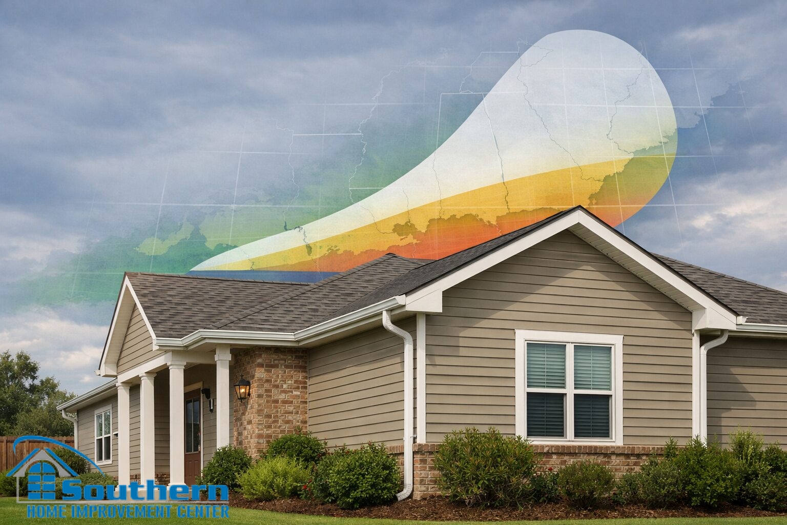
NOAA has announced an important change for the 2026 hurricane season: the National Hurricane Center’s forecast cone will now show inland tropical storm and hurricane watches and warnings, not just coastal ones. For Louisiana and Mississippi homeowners, that change matters because damaging wind, wind-driven rain, and exterior water intrusion are not limited to homes near the shoreline.
The new hurricane cone graphic is more than a design update. It is a clearer reminder that inland communities can face serious storm exposure too. Homeowners in New Orleans, Jefferson Parish, the Northshore, Baton Rouge, and the Mississippi Gulf Coast should treat this update as a reason to review roof condition, gutters, drainage, windows, and other vulnerable exterior systems before the season becomes active.
What Changed in the 2026 Hurricane Cone
For the 2026 hurricane season, the forecast cone will display inland tropical storm and hurricane watches and warnings in addition to coastal alerts. That matters for Gulf Coast homeowners because many people still read storm graphics as if the most serious concern begins and ends at the shoreline.
In practice, that is not how exterior damage works. Homes farther inland can still experience wind damage, falling limbs, lifted shingles, gutter overload, flashing failure, soffit damage, and roof leaks during tropical systems. By adding inland warnings directly to the cone, the message becomes much clearer for homeowners across Louisiana and Mississippi.
What the Cone Still Does Not Show
The cone is designed around the probable path of the storm’s center. It is not a “safe zone” map for homes outside the shaded area, and it does not show the full footprint of damaging wind or wind-driven rain.
For homeowners, that means a property outside the center track can still have real risk. Roof edges, gutters, older flashing transitions, and any weak point with a leak history may still be tested long before a storm appears “close enough” on a map.
Why Inland Hurricane Warnings Matter for Louisiana and Mississippi Homes
The strongest takeaway for homeowners is practical, not theoretical. If inland warnings are now shown directly on the cone, it becomes harder to dismiss a storm just because your address is not on the coast. That is especially relevant in Southeast Louisiana and the Mississippi Gulf Coast, where homes can still face damaging gusts, repeated rain bands, drainage stress, and water intrusion well away from open water.
For many houses, the issue is not one dramatic failure. It is a chain of smaller weaknesses that become expensive under pressure — aging shingles, soft decking areas, loose drip edges, clogged gutter runs, tired sealants, marginal flashing details, or windows and doors that no longer shed water the way they should. A clearer warning graphic should push preparation earlier, not later.
Louisiana homeowners
Properties in New Orleans, Jefferson Parish, the Northshore, and Baton Rouge should not treat hurricane prep as a coastal-only issue. Wind exposure and water intrusion can still create serious roof and exterior problems inland.
Mississippi homeowners
Along the Mississippi Gulf Coast, the updated warning display is another reason to inspect vulnerable exterior systems before storm season pressure drives up wait times and limits repair availability.
What Gulf Coast Homeowners Should Inspect Before Hurricane Season
Before the 2026 hurricane season ramps up, homeowners should focus on the parts of the house most likely to turn a manageable storm into a costly repair. A pre-season inspection is especially important for older roofs, homes with previous insurance claims, and properties that already show staining, overflow, lifted shingles, or recurring leak concerns.
Look for wear, missing tabs, curling, granule loss, and any sign the system is approaching the end of its reliable service life.
Pay close attention to valleys, penetrations, wall intersections, chimneys, and other areas where wind-driven rain often finds its way in first.
Overflow, sagging runs, poor discharge, and debris buildup can quickly turn heavy rain into fascia, soffit, siding, and foundation issues.
These areas often reveal hidden moisture exposure before major interior symptoms show up.
Older openings and failed sealant lines can contribute to water intrusion during prolonged rain and strong gusts.
Any area with a leak history or storm repair record deserves extra attention before the season becomes active.
Roof, Gutter, and Exterior Issues That Become Expensive After a Storm
One reason this NOAA update matters from a homeowner perspective is timing. Once a named storm is moving toward the Gulf, inspection schedules tighten quickly, repair slots fill, and decision-making becomes more stressful. That is why the best time to identify weak roof edges, drainage problems, flashing concerns, and leak-prone transitions is before the warning cycle begins.
For some homes, the right answer may be maintenance and correction of isolated trouble spots. For others, recurring leak history, advanced roof age, or wider storm vulnerability may point toward broader repair planning or replacement. The point is not to overreact to a map change. It is to use that change as a clear signal to prepare earlier and make decisions with better information.
Why Pre-Season Documentation Helps With Storm Claims and Repair Decisions
Homeowners should also use this time to strengthen documentation. Current exterior photos, recent roof-condition images if available, and a simple folder for repair receipts, inspection notes, and claim records can make post-storm conversations much more efficient. When warnings become more visible inland, the preparation timeline should shift earlier as well.
Good documentation does not replace a professional inspection, but it does create a clearer baseline. That can help homeowners separate pre-existing wear from new storm-related conditions and make repair decisions with less confusion after severe weather moves through.
Frequently Asked Questions
Homeowners looking at the 2026 hurricane cone update usually come back to the same practical questions, especially around inland storm risk and timing. The answers below can help frame what to do before the season becomes more active.
What is changing in the hurricane cone for 2026?
For the 2026 hurricane season, the forecast cone will include inland tropical storm and hurricane watches and warnings, not just coastal ones. That makes inland risk more visible for homeowners reviewing storm graphics.
Does the hurricane cone show every area that can be damaged?
No. The cone shows the probable path of the storm’s center. Dangerous wind, wind-driven rain, falling limbs, and roof damage can still affect homes outside the cone.
Do inland Louisiana homes need hurricane preparation too?
Yes. Inland homes can still experience damaging gusts, drainage overload, tree impact, water intrusion, and roof leaks during tropical systems. That is one reason the updated warning display matters.
What should Mississippi homeowners check before hurricane season?
Start with the roof, flashing, gutters, soffits, fascia, drainage paths, and any exterior area that has leaked, overflowed, or required repair in the past.
The bottom line is straightforward. This 2026 hurricane cone change is not just a graphics update. It is a stronger reminder that inland does not mean low-risk. If your roof, gutters, windows, or exterior transitions are overdue for attention, the smartest time to address them is before the first serious warning cycle of the season.
Schedule a Pre-Season Exterior Inspection
Southern Home Improvement Center (SHIC) helps homeowners across Southeast Louisiana and the Mississippi Gulf Coast identify storm-vulnerable exterior issues before hurricane season pressure starts to build. If your roof, gutters, siding, windows, or flashing details need a closer look, now is the right time to schedule an inspection and plan the next step with clearer information.


